Level crossings in Ireland. Comparing crossings before upgrade and removal decisions
Ireland keeps reducing and upgrading its level crossings, with Iarnród Éireann managing the inventory under a live risk model, the Commission for Railway Regulation acting as the railway safety authority, and the Railway Accident Investigation Unit investigating accidents.
The following sections present the accident history, the level crossing system, the public actors, the risk model, and the safety programme. The last section covers the territorial context that SAMRoute models.
1. Accident history at level crossings
Ireland has recorded no level crossing fatality since 2010 [6, ↗]. On 9 September 2023, a passenger train struck a car at the Prendergast user-worked crossing XM190 in County Mayo, after a driver unfamiliar with unmanned crossings had been diverted there by satnav, and the RAIU traced the collision to a gate left open, the driver's unfamiliarity and a failure to heed the advance warning signs [5, ↗].
2. The Irish level crossing system
Iarnród Éireann, the state railway company within Córas Iompair Éireann, manages the national network and owns the level crossing inventory [3, ↗]. The network runs to about 1,680 route kilometres, or 2,400 kilometres of operational track, on the 1,600 millimetre Irish broad gauge [1, ↗]. The crossing count keeps falling, from 978 in 2014 to 873 in 2021, as crossings are upgraded, automated or closed [1, ↗].
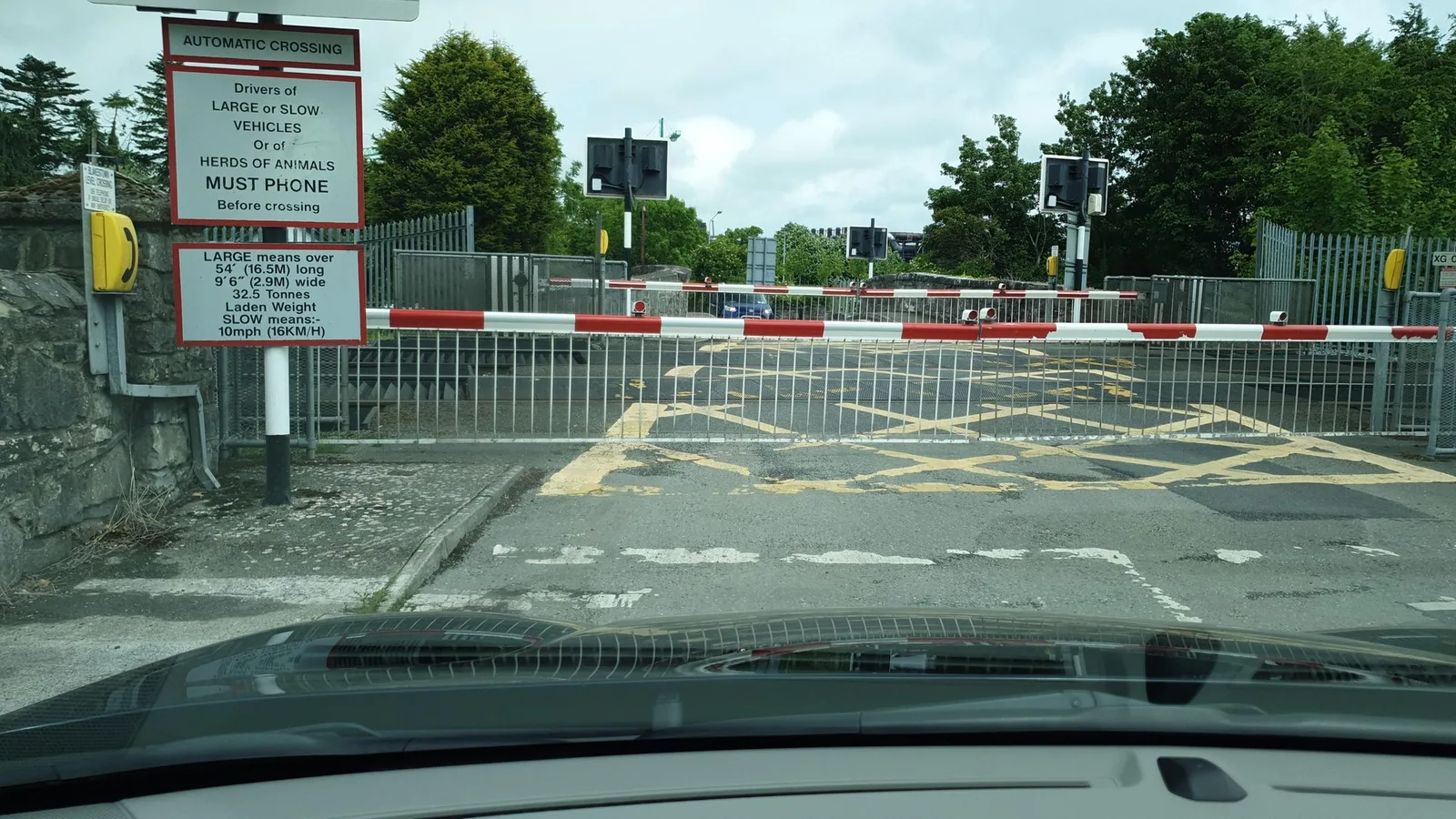
The inventory carries several crossing types, from manned barrier and automatic crossings to the user-worked crossing, where the road user opens and closes the gates and judges whether a train is approaching [4, ↗]. The user-worked crossing carries the greatest share of the crossing risk on the network, and it is the focus of the safety programme [6, ↗].
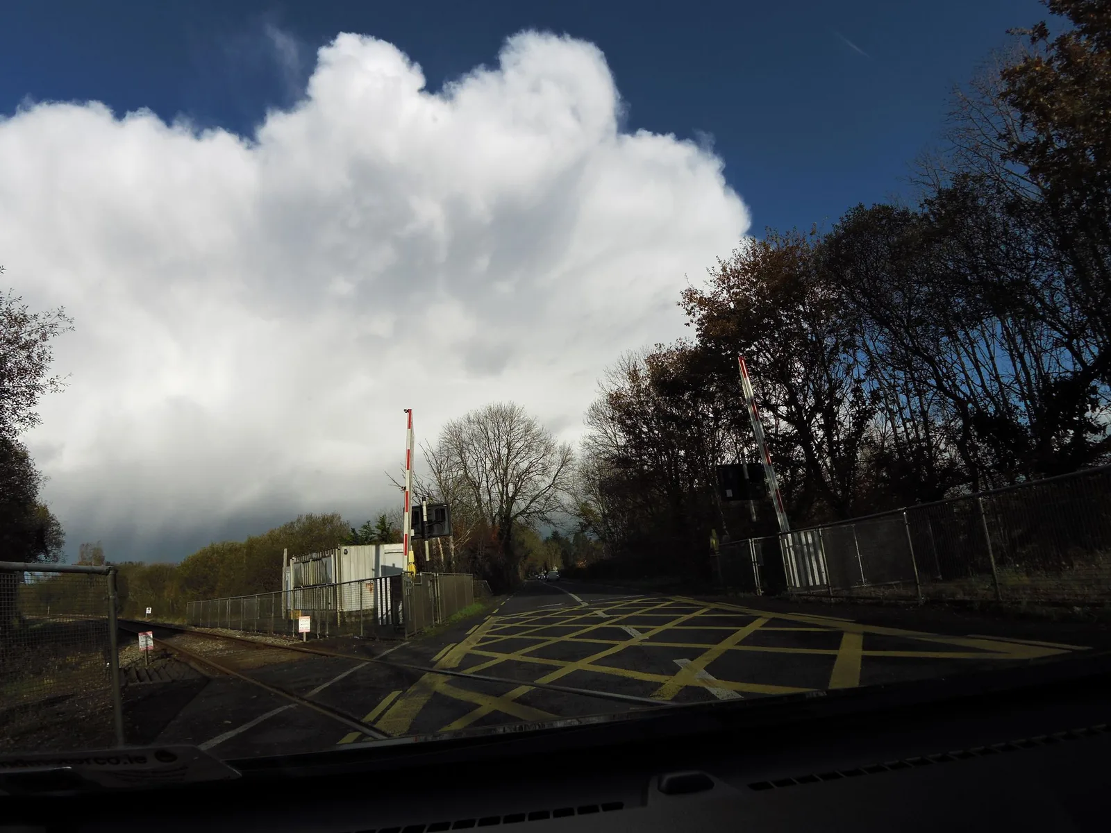
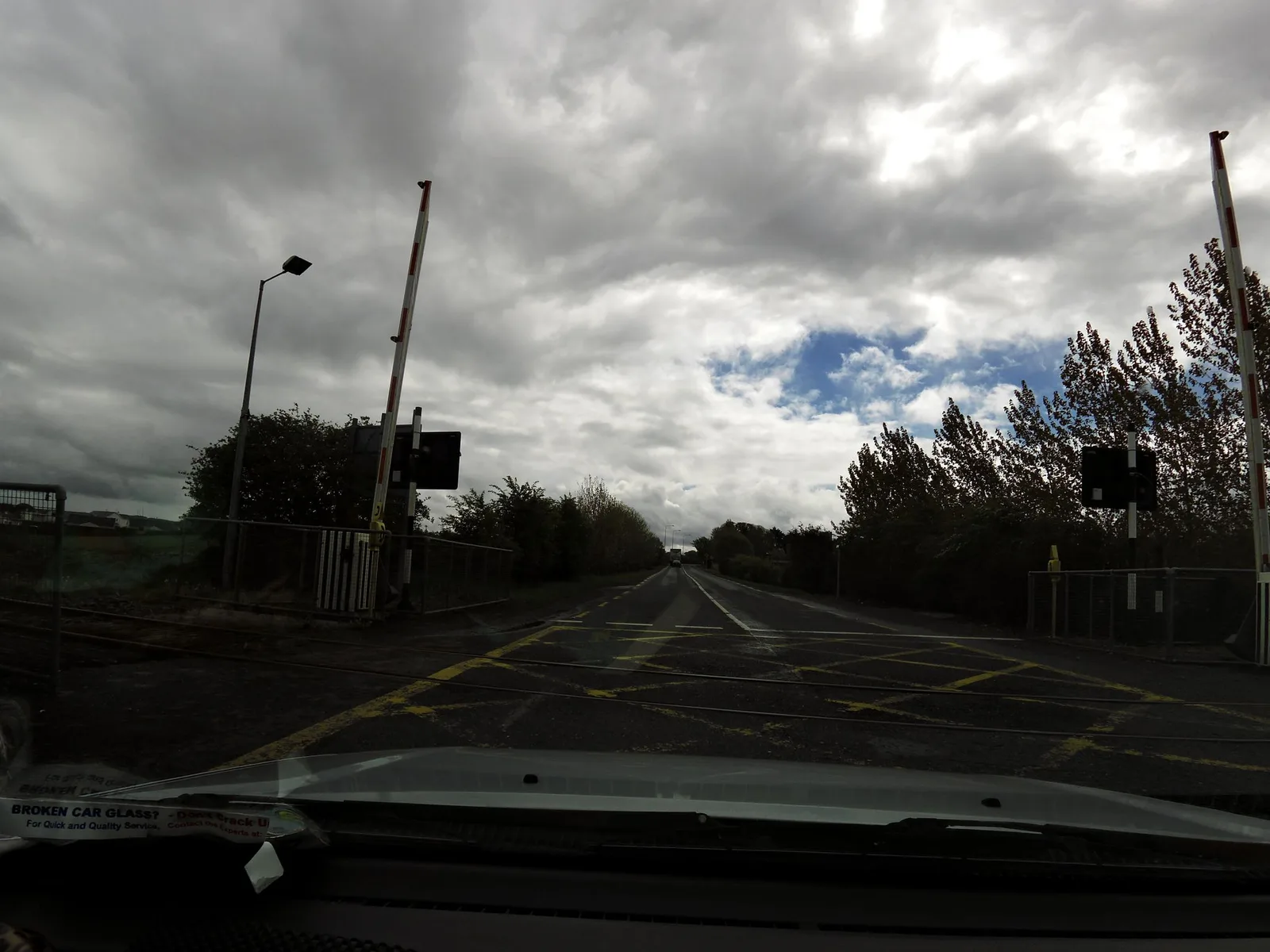
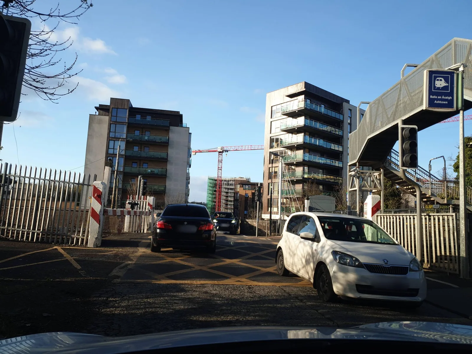
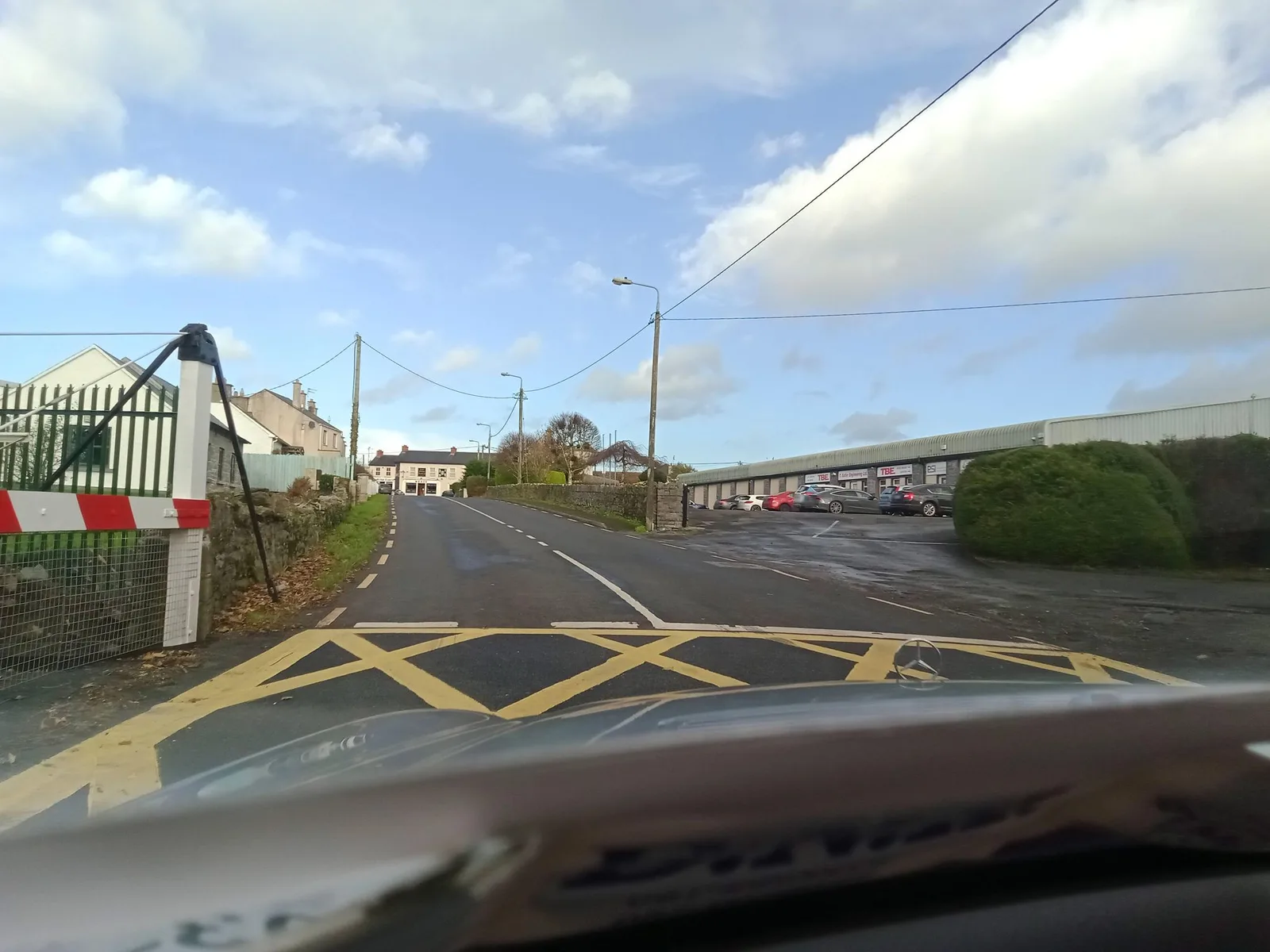
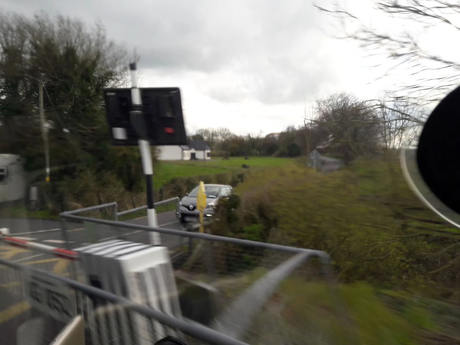
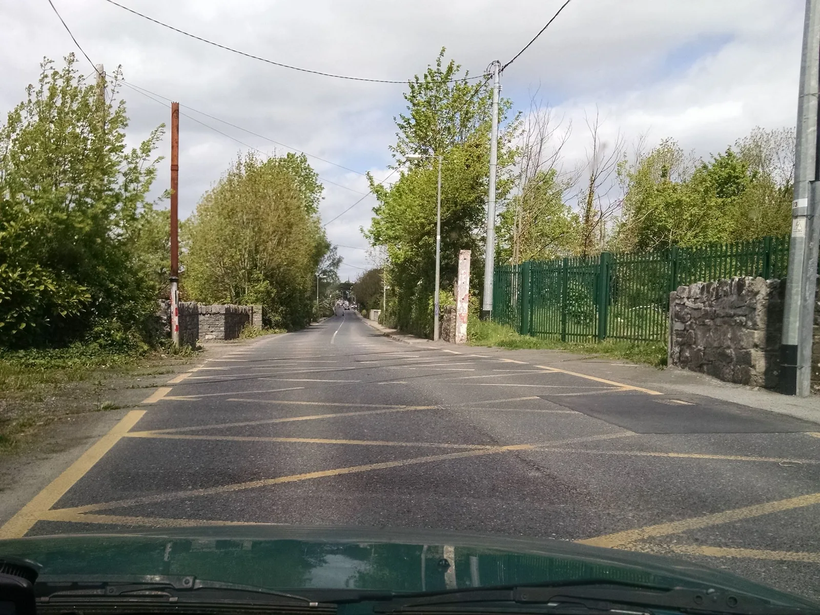
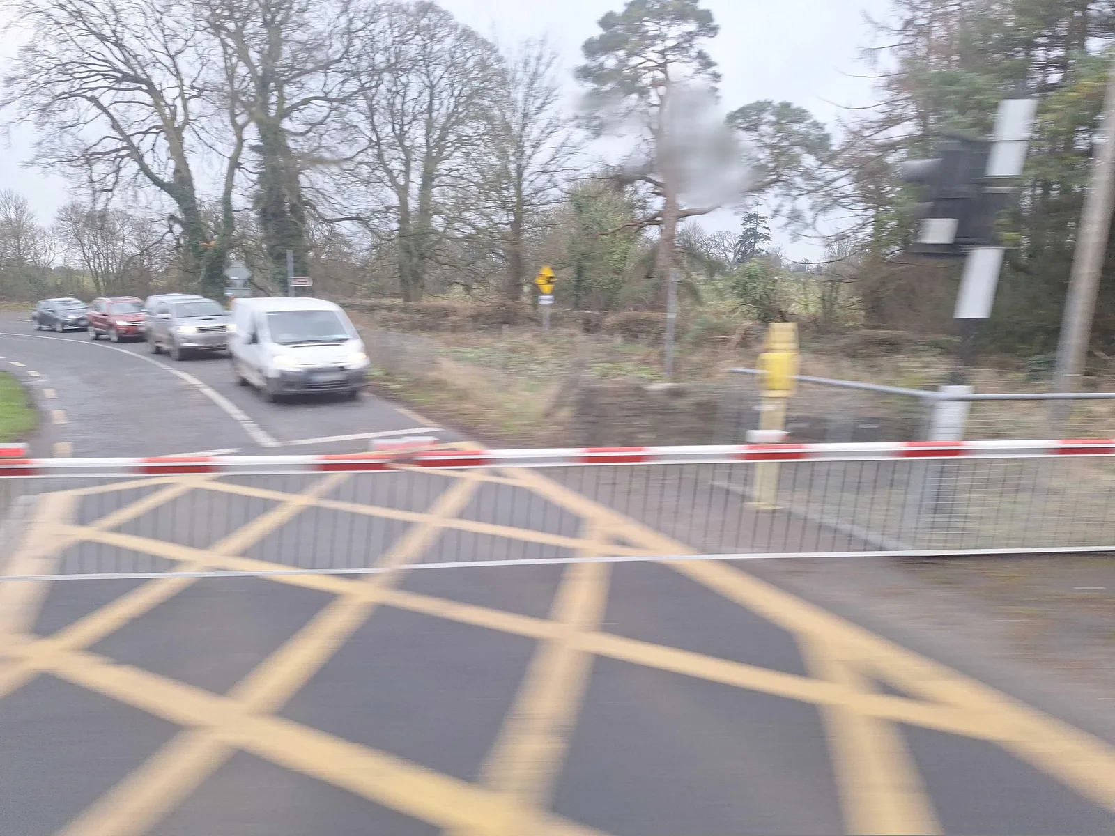
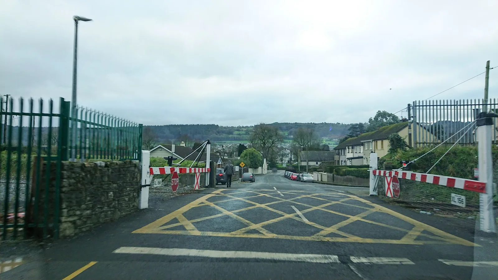
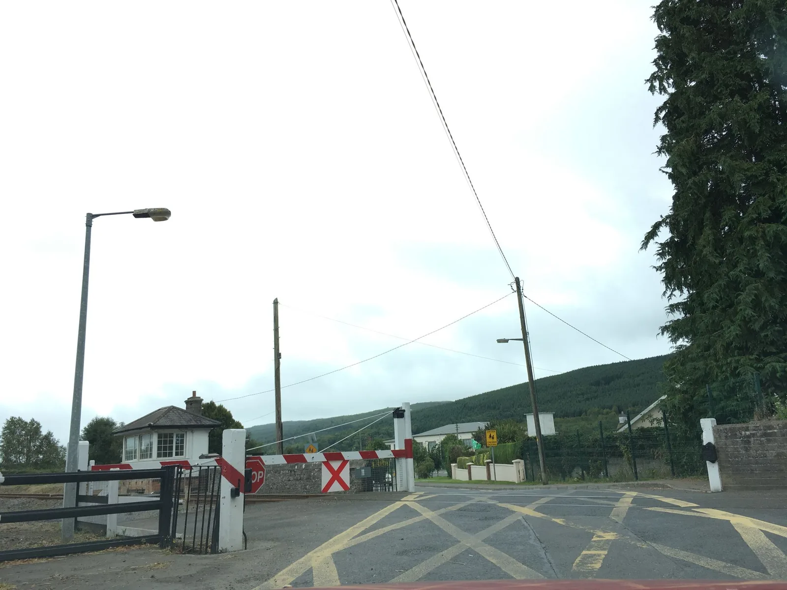
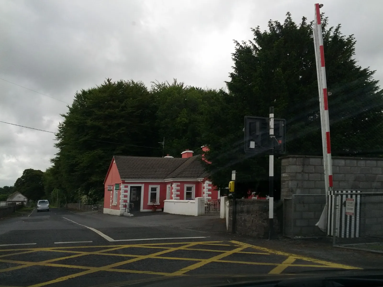
The street-level views below show crossings in rural, small-town and farm-access settings on the same network, where local settings differ widely.
3. The infrastructure manager, safety authority and accident investigator
Iarnród Éireann maintains the crossing inventory and carries out the upgrades, automation and closures as the state infrastructure manager [3, ↗].
The Commission for Railway Regulation (CRR), An Coimisiún um Rialáil Iarnróid, is the railway safety authority. It was established on 1 January 2006 under the Railway Safety Act 2005 [2, ↗] [7, ↗], and it carries the national safety authority role that Directive (EU) 2016/798 requires of every Member State [8, ↗].
The Railway Accident Investigation Unit (RAIU), within the Department of Transport, investigates serious rail accidents independently of the regulator and the operators, and publishes its findings and recommendations [5, ↗].
4. The Level Crossing Risk Model
Iarnród Éireann reads crossing risk through a live quantitative model rather than a fixed classification alone. The Level Crossing Risk Model evaluates every crossing on the network from about 140 inputs each, collected each year through inspections, technical surveys, traffic counts and evaluation measures [6, ↗]. It was built with SOTERA Risk Solutions, replacing the older AD Little model that no longer met the company's needs [6, ↗].
The model computes two measures for each crossing. Collective risk sums the safety loss per year across everyone exposed, which lets the company put a monetary value on safety and rank works by cost and benefit. Individual risk measures the loss to a typical exposed person per year, set against an upper limit of tolerability above which a risk is intolerable, and the model sorts crossings from high and intolerable down to very low [6, ↗]. Because the inputs change as traffic, train frequency and crossing condition change, the ranking is continuously re-prioritised toward the highest-risk crossings [6, ↗].
5. A safety programme built on the user-worked crossing
The safety programme concentrates on the user-worked crossing, through upgrades, eliminations, technology and education [1, ↗]. Iarnród Éireann fits the highest-risk user-worked crossings with a Decision Support System, the VAMOS train-detection equipment that gives the road user a visual and audible warning of an approaching train [6, ↗] [1, ↗]. On the Cork mainline, a dedicated project upgrades or removes crossings outright [9, ↗].
After the Prendergast collision, the RAIU recommended trialling a clearer warning sign and approaching the mapping providers about an on-route warning, and Iarnród Éireann painted the gates and the road surface at the crossing [5, ↗].
6. Comparing the surroundings of crossings
A crossing is both a point of risk and a point of access.
- For the crossings that stay, the risk they carry depends on the nearby population, the emergency access, and the local routes that rely on them.
- For the crossings moving toward upgrade or removal, the same surroundings set the access question, where road users and farm traffic go once the crossing closes or gains a warning system, and rural sites are often constrained.
Some crossings have simple alternatives. Others touch emergency access, pedestrian and farm circulation, nearby population or the local road network that the route through the crossing connects. The Level Crossing Risk Model reads each crossing and its traffic in fine detail, and comparing the wider surroundings on the same reference extends that reach, supporting prioritisation as much as field inspection, detailed engineering and budget commitment on those moving toward a project.
That is the territorial layer SAMRoute structures around crossings, with a common geography, repeatable indicators, a regular refresh and traceable sources, so one crossing can be compared with another [10, ↗].
7. References
Infrastructure manager and inventory
[1] Commission for Railway Regulation. Safety Performance Report 2023 (CRR, 2024). The network length, the decline from 978 crossings in 2014 to 873 in 2021, and the Decision Support System rollout. Read
[3] Iarnród Éireann. Rail level crossings (Iarnród Éireann). The infrastructure manager role and the crossing inventory. Read
[4] Commission for Railway Regulation. Guidelines for the design of railway infrastructure and rolling stock, Section 5, Level Crossings (CRR). The crossing types and the user-worked crossing. Read
Safety authority and investigation
[2] Commission for Railway Regulation. Annual Report 2024 (CRR, 2025). The establishment of the CRR on 1 January 2006 and its supervision role. Read
[5] Railway Accident Investigation Unit. Annual Report 2024 (RAIU, 2025). The independent investigation role and the Prendergast XM190 collision findings and recommendations. Read
[7] Oireachtas. Railway Safety Act 2005 (No. 31 of 2005). Establishes the railway safety authority and the accident investigation function. Read
[8] European Parliament and Council. Directive (EU) 2016/798 of 11 May 2016 on railway safety (OJ L 138, 26.5.2016). Requires each Member State to set up a national safety authority and an independent investigating body. Read
The risk model and the programme
[6] F. Golden. The management of level crossings in Irish Rail (Permanent Way Institution, 2023). The Level Crossing Risk Model, the 140 inputs, the collective and individual risk measures, the VAMOS Decision Support System and the no-fatality record since 2010. Read
[9] Iarnród Éireann. Cork Line Level Crossings Project (Iarnród Éireann). The upgrade and removal of crossings on the Cork mainline. Read
[10] SAMRoute. Rail cadence, level crossings and emergency access (position page). Open