Level crossings in Finland. Comparing crossings before removal and warning-system decisions
Finland keeps removing and upgrading its level crossings, with Väylä managing the inventory under the TARVA risk model, the Traficom acting as the railway safety authority, and the Onnettomuustutkintakeskus investigating accidents.
The following sections present the accident history, the level crossing system, the public actors, the TARVA risk model, and the removal programme. The last section covers the territorial context that SAMRoute models.
1. Accident history at level crossings
In 2024, Finland recorded 11 level crossing accidents, the lowest annual count in its monitoring history and the first year with no level crossing fatalities at all [3, ↗]. The long fall mirrors the inventory, which dropped from more than 8,000 crossings in the late 1960s to about 2,400 today [2, ↗].
On 26 October 2017, a train struck an army truck during a military exercise at an unguarded crossing in Raasepori. Three conscripts and a passenger on the train were killed, the deadliest level crossing accident of recent years. The investigators' report R2017-03 found that crossing safety in Finland was not good enough [9, ↗].
However, within a single week of August 2025, two collisions broke the clear-year run, killing three people between them:
- On 3 August 2025, a van drove onto an unguarded crossing on Ruuskalantie in Siilinjärvi as a train approached, killing the two occupants in their late sixties [10, ↗].
- On 6 August 2025, a train and a van collided at a level crossing in Loimaa, killing the van driver [11, ↗].
2. The Finnish level crossing system
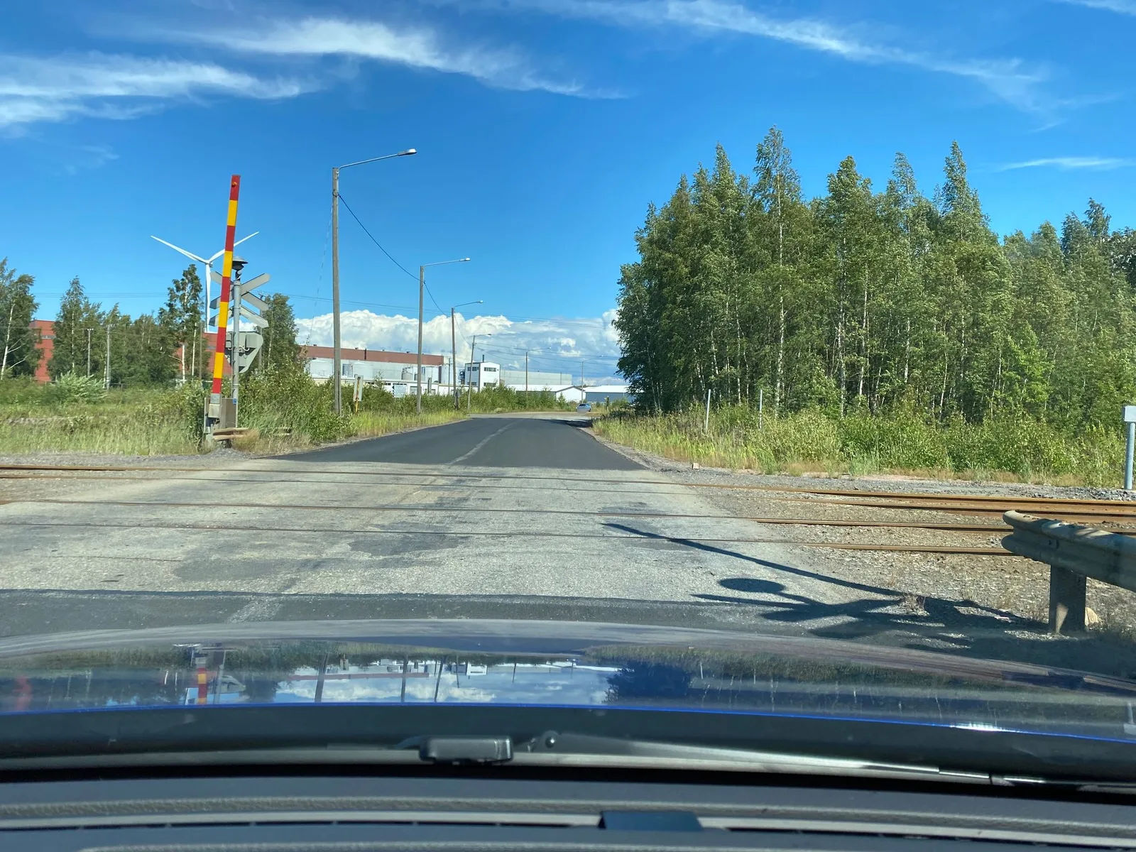
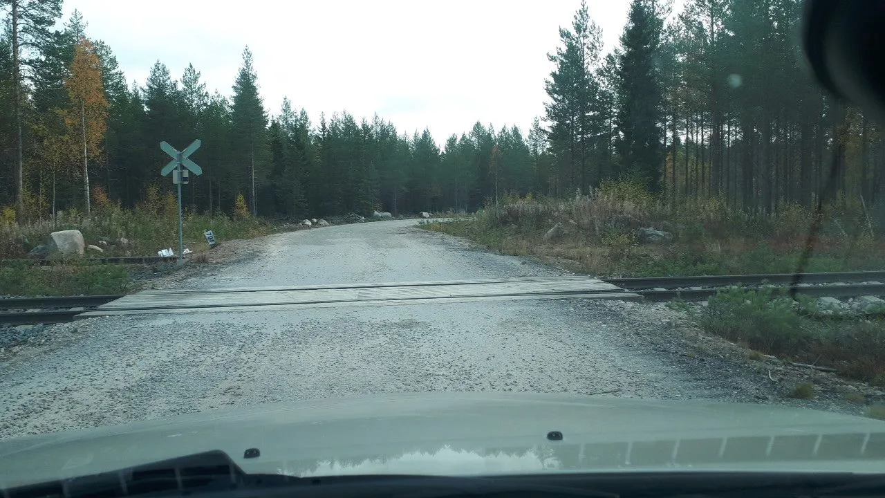
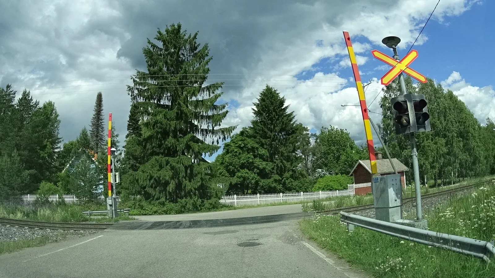
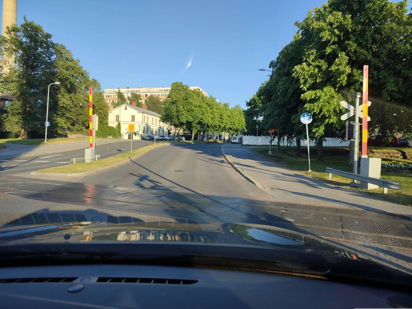
Väylä, the Finnish Transport Infrastructure Agency, manages the state railway network of about 5,900 kilometres and owns the level crossing inventory [2, ↗]. The network carries about 2,400 level crossings, most of them unguarded, with the St Andrew's cross but no barriers or warning lights, down from more than 8,000 in the late 1960s [2, ↗]. Level crossings are kept off the fastest lines, since they are not permitted where line speed exceeds 140 kilometres per hour [2, ↗].
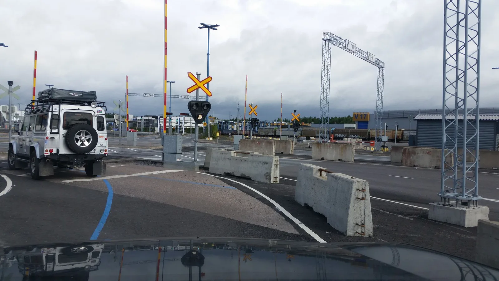
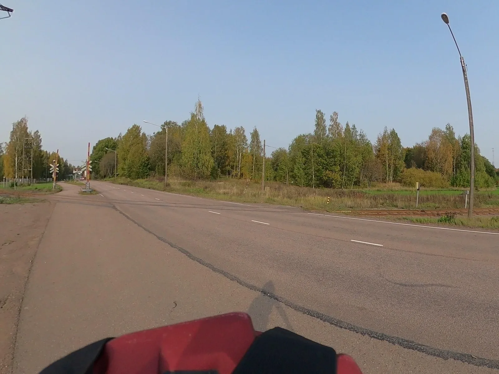
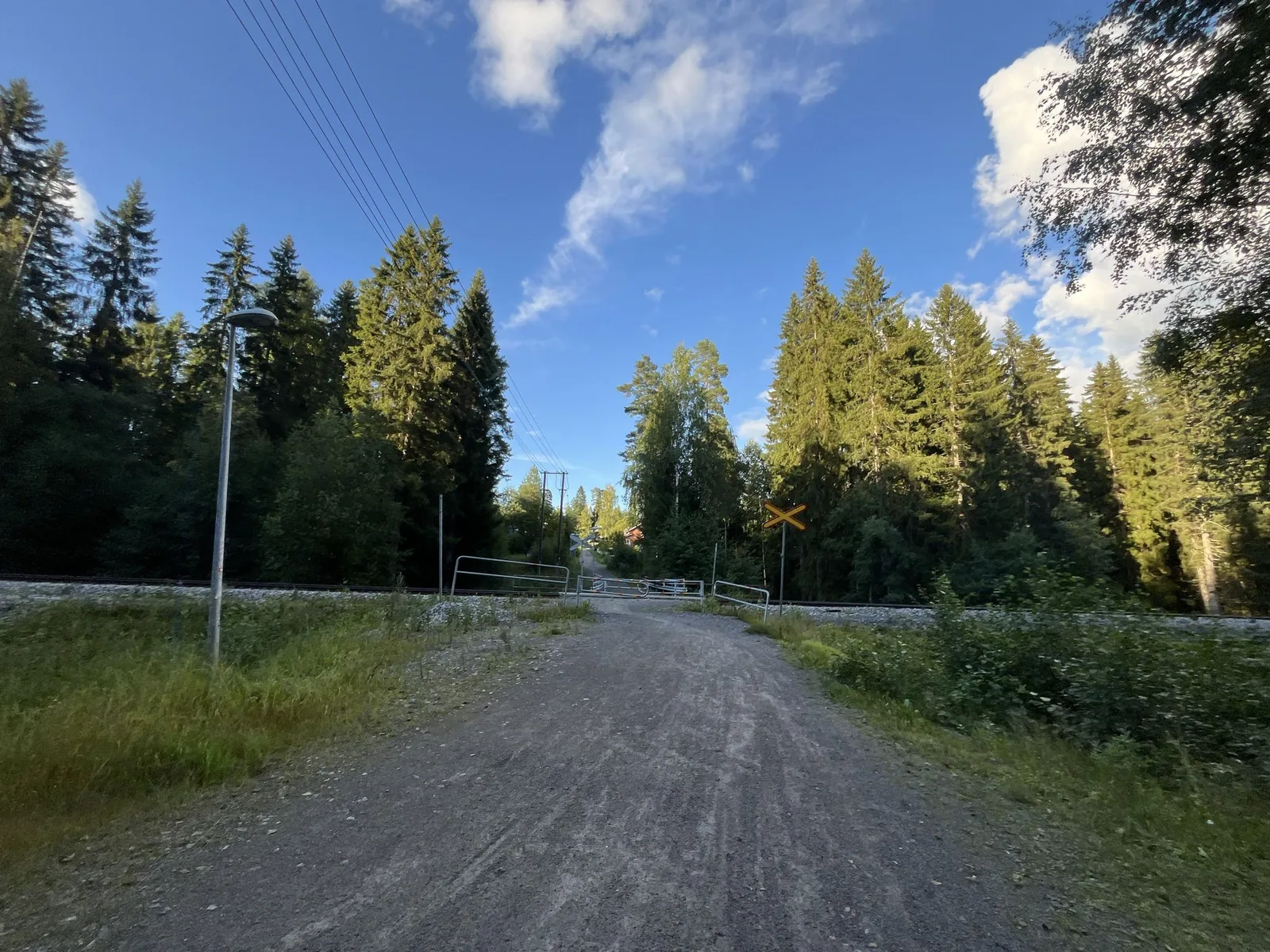
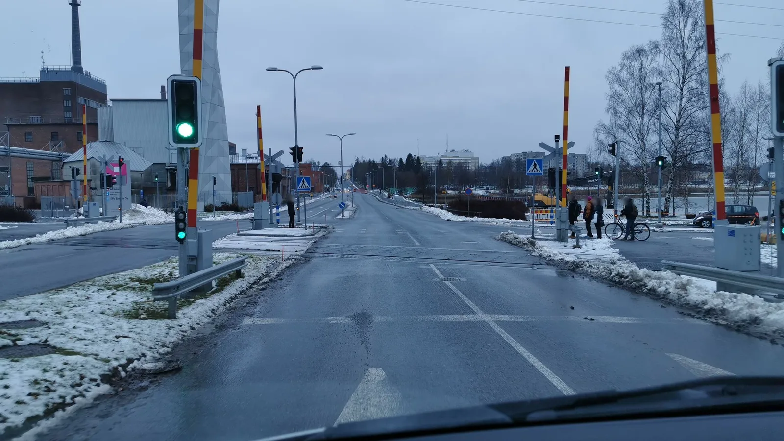
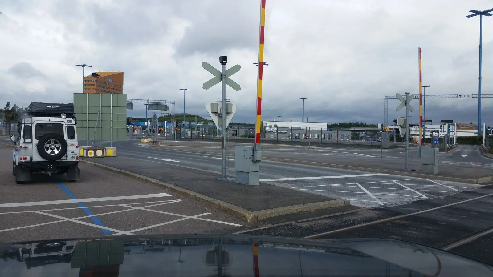
The street-level views below show crossings in rural, small-town and road-access settings on the same network, where local settings differ widely.
3. The infrastructure manager, safety authority and accident investigator
Väylä maintains the crossing inventory and carries out the removals and upgrades as the state infrastructure manager [2, ↗].
The Traficom, the Finnish Transport and Communications Agency, is the railway safety authority that Directive (EU) 2016/798 requires of every Member State [7, ↗]. It regulates and supervises railway safety and reports on it each year [4, ↗].
The Onnettomuustutkintakeskus (OTKES), the Safety Investigation Authority, investigates serious rail accidents independently, under the Ministry of Justice, and publishes its findings and recommendations [5, ↗].
4. TARVA, a per-crossing risk model
Finland reads crossing risk through a published quantitative model. TARVA, built by the VTT Technical Research Centre in 1993 and refined since, uses an Empirical Bayesian method that combines each crossing's own accident history with an accident-prediction model, so the expected accident number for a crossing draws on both its record and comparable sites [6, ↗]. The prediction reads the protection type, the train and road traffic, the approach gradient, the sight distance and the number of persons living near the crossing [6, ↗].
TARVA also estimates the safety effect and the cost-effectiveness of each proposed measure, so Väylä ranks crossings for removal or upgrade on safety and cost together [2, ↗]. The model already reaches toward the surroundings through the persons living nearby, and a territorial reading widens that to the rest of the local context.
5. The removal programme and the 2030 deadline
The Tasoristeysohjelma, the level crossing programme, removes and upgrades crossings on the TARVA priority, taking the unguarded crossings first through closure, grade separation or a new warning system [2, ↗]. A government decree sets a hard date, since a crossing that does not meet the requirements has to be upgraded, fitted with a warning system or removed by the end of 2030 [2, ↗].
6. Comparing the surroundings of crossings
A crossing is both a point of risk and a point of access.
- For the crossings that stay, the risk they carry depends on the nearby population, the emergency access, and the local routes that rely on them.
- For the crossings moving toward upgrade or removal, the same surroundings set the access question, where road users and pedestrians go once the crossing closes or gains a warning system, and rural sites are often constrained.
Some crossings have simple alternatives. Others touch emergency access, pedestrian and farm circulation, nearby population or the local road network that the route through the crossing connects. TARVA already counts the persons living near each crossing, and comparing the wider surroundings on the same reference extends that reading, supporting prioritisation as much as field review, detailed engineering and budget commitment on those moving toward a project.
That is the territorial layer SAMRoute structures around crossings, with a common geography, repeatable indicators, a regular refresh and traceable sources, so one crossing can be compared with another [8, ↗].
7. References
Infrastructure manager and inventory
[1] Wikipedia. Level crossings by country (Wikipedia, after UNECE data). The order of magnitude of the Finnish level crossing stock. Read
[2] Väylä. Level-crossing safety (Finnish Transport Infrastructure Agency). The infrastructure manager role, the unguarded crossings, the 140 kilometre per hour limit, the Tasoristeysohjelma programme and the 2030 deadline. Read
Safety authority and investigation
[3] Traficom. Annual Railway Safety Report 2024 (Traficom, 2025). The 11 level crossing accidents in 2024, the lowest in the monitoring history, and the first year with no level crossing fatalities. Read
[4] Traficom. Rail (Finnish Transport and Communications Agency). The railway safety authority. Read
[5] Onnettomuustutkintakeskus. OTKES (Safety Investigation Authority Finland). The independent rail accident investigation body under the Ministry of Justice. Read
[9] Onnettomuustutkintakeskus. R2017-03, level crossing accident at Raasepori, 26 October 2017 (OTKES). The collision between a train and an army truck that killed four, and the finding on crossing safety. Read
[10] Yle. Two killed as van and train collide in Siilinjärvi (3 August 2025). The fatal collision at the unguarded Ruuskalantie crossing. Read
[11] Daily Finland. Another accident at level crossing kills 1 in Loimaa (6 August 2025). The fatal collision between a train and a van at a Loimaa crossing. Read
The risk model
[6] VTT Technical Research Centre of Finland. 30 years promoting road safety, the TARVA software (VTT). The Empirical Bayesian risk model, its accident-prediction variables and its measure of safety effect and cost-effectiveness. Read
European framework
[7] European Parliament and Council. Directive (EU) 2016/798 of 11 May 2016 on railway safety (OJ L 138, 26.5.2016). Requires each Member State to set up a national safety authority and an independent investigating body. Read
[8] SAMRoute. Rail cadence, level crossings and emergency access (position page). Open